-
-
-
18 June 2017Thai water management goes green
-
-
27 November 2016Water Engineers Adopt Ecosystem-based Adaptation
-
-
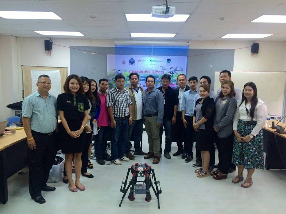
Moving Forward: Mapping Development by Drone Application for Resources Management and Monitoring in Extreme Events
In 2015 GIZ-ECOSWat in cooperation with Walailak University (WU) organized workshops on “The Integration of Drones into the Thai Water Sector” for Thai water sector organizations. These workshops were conducted by international experts, namely Mr. Philipp Thumser, Mr. Christian Haas and Dr.Ing. Jeffrey Tuhtan from I AM HYDRO GmbH, Germany.
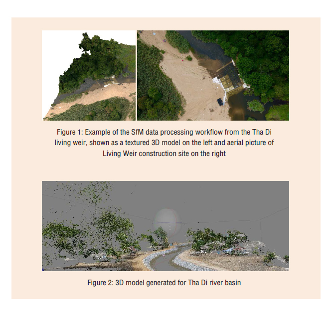
Data collected by drones can be used to generate a 3D-model to support the decision-maker in designing a water management plan to mitigate the effects of flood and drought brought about by climate change.
To follow up the implementation, WU in collaboration with GIZ-ECOSWat organized a workshop from April 20 to 22, 2016 on the application of drone technology for natural resource management and monitoring of extreme events in Thailand.
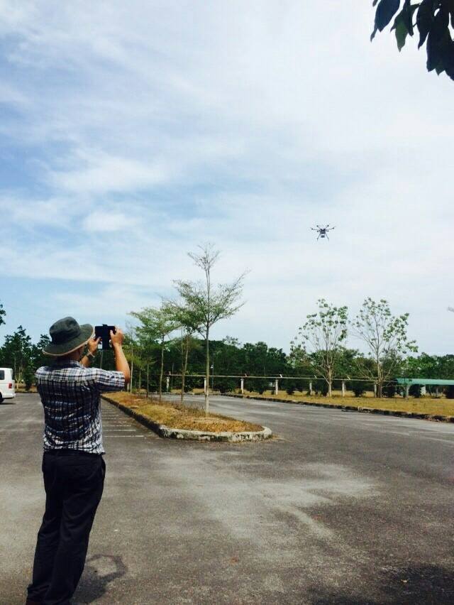
The workshop aimed to introduce and disseminate knowledge and principles of drone application and emphasize active learning for flight plan development, which is needed when using drone applications for river basin surveys and the generation of 3D models.
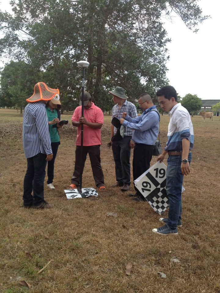
During the workshop, participants practiced flight plan development, ground control check point (GCP) setting, photo overlapping methods/ techniques (60 -70 % overlapping) and safety checklists (pre-flight, during flight, and after-flight), to ensure the quality of the photos in order to generate a 3-dimensional structure from 2-dimensional image sequences.
Moreover, the participants showed great interest in applying drones to their own work and in further collaborating on future activities, with WU acting as knowledge coordinator and multiplier.
WU has now included drones as part of its Remote Sensing Curriculum at its School of Engineer and Resources.
GALLERY
Poom Pinthep
Email:poom.pinthep(at)giz.de