-
-
-
18 June 2017Thai water management goes green
-
-
27 November 2016Water Engineers Adopt Ecosystem-based Adaptation
-
-
Media Visit to Lum Pha Chi Sub-River Basin, Ratchaburi
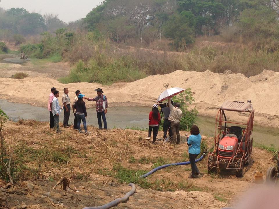
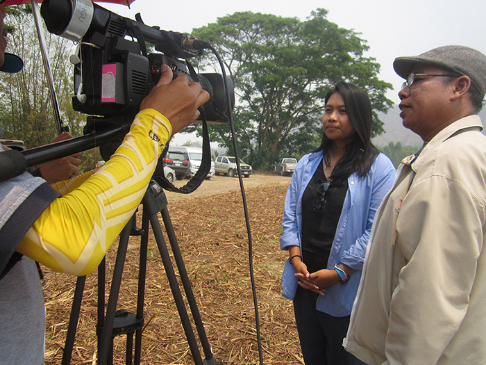
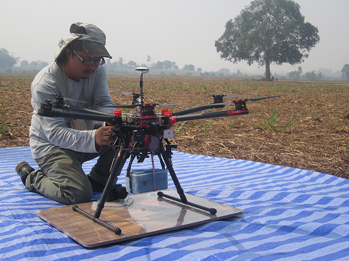
On March 21, 2016, the Improved Management of Extreme Events through Ecosystem-based Adaptation in Watersheds (ECOSWat) project welcomed a crew from Thai PBS Channel Thailand’s TV show “Getting Informed to Combat Disaster” to film a segment on the survey of the Lum Pha Chi River Basin areas. The news item focused on the use of drone technology and the analysis of risks and impacts from floods and droughts in Lum Pha Chi River Basin areas, Ban Tha Epa, Chom Bueng district, Ratchaburi province.
The TV crew was provided with information about the project by staff from the Water Resource Regional Office 7, Dan Thap Tako Sub-district Administrative Organisation and the Lum Pha Chi River Basin Working Group. In her presentation, GIZ project staff member Jaruwan Ngamsing introduced the project, saying: “This is a cooperation project between the Governments of Thailand and Germany aimed at improving ecosystem-based management of water resources based on the experiences of Germany in regard to its severe floods. However, despite investing 1 billion Baht in the building of infrastructure to address the issues, the problems remained and it was therefore concluded that working with nature might bring about sustainable solutions.
“The project dispatched experts from Germany to the Lum Pha Chi River Basin areas to identify the causes of floods and droughts and explore whether water catchment areas for use in the dry season could be developed and the water speed slowed in the event of floods.
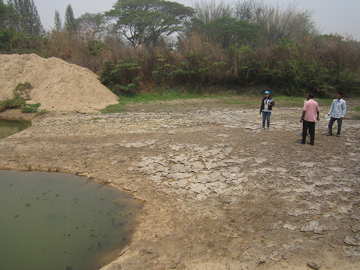
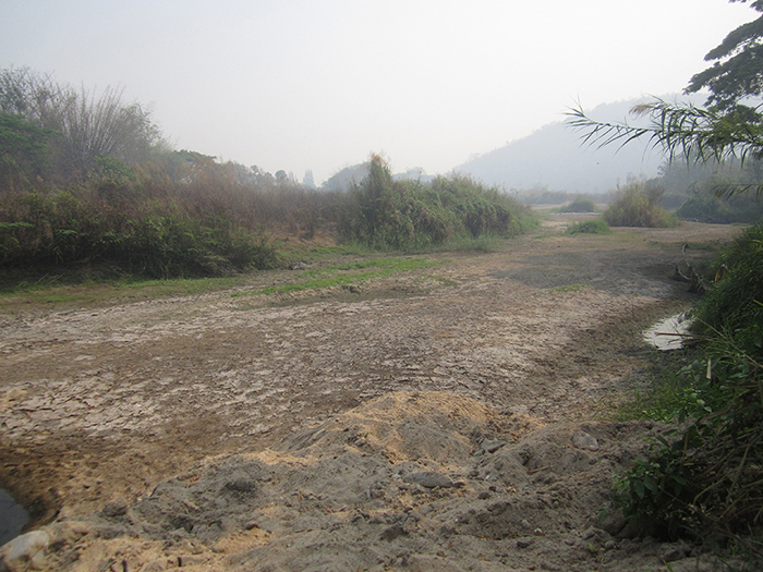
“Recommendations were given on use of drones for area survey and analysis with 3D modelling images showing mountains, trees and rivers in case of flooding (water level) and droughts (amount of water catchment). Lum Pha Chi River Basin was selected as a pilot area due to the relatively high diversity in its climate, namely droughts in the hot season and severe floods in the rainy season. It is therefore appropriate to survey the areas and jointly solve the problems to the extent possible.”
Mr. Suthira Thongkao, School of Engineering and Resources, Walailak University, demonstrated the use of drones for survey and primary data collection. He explained” “Due to the time needed and cost of aerial images, [aerial] surveys in relatively small areas tend to be very expensive. Drones are therefore the answer to imaging flights and primarily exploring the areas. For example, should we wish to survey canals, aerial imaging could not be undertaken from less than 50 to 100 metres above the ground. But drones can fly below that level and therefore take in-depth, high-resolution images that provide data for studying the changes in canals, erosion and depth of canals and the bed load of Lum Pha Chi River Basin.
“Drones consist of a flying motor set, flight control CPU and, most importantly GPS, that helps determine co-ordinates of location so that drones can automatically perform imaging flights. Further components are a rotor blade, a box to hold a camera and a software program to plan flights based on data transmitted to fly and take images according to the plan. Technically, drones put together multiple smaller photo shots into one big image, using a camera that functions at all times of day. The drones are set to fly six metres per second, meaning that every six metres, a photo will be shot, using photogram software to put together images and process them into 3D models.
“I wasn’t interested at first. But the approach has taken shape thanks to the support of GIZ. In the long term, drones are considered useful for research work in tracking changes, for example in terms of observation modelling to assess water flow. We lacked the data with such detail in the past. Furthermore, GIZ has also trained us on safety measures and guidelines for area study before organising a flight.” Mr. Suthira added.
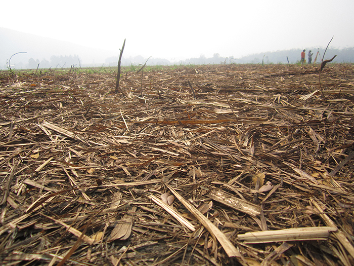
Mr. Nuan Buathong, Village Chief of Ban Tha Epa, and the representative of residents suffering from droughts in the Lum Pha Chi River Basin areas said: “The biggest problem now is water. This drought is the most severe we have faced in the last ten years. Farmers need water to grow crops, such as sugarcane and onions. It would be good if the project could help us with a water reservoir to store water for use when needed. Now we have more than 10 wells and irrigate using water from the canal. But during this year’s dry season, the existing water will probably not be sufficient. The vegetables we grow need water continuously. If the water runs out, the crop is over. ”
The preliminary survey aims to build on survey results and design further steps for project implementation. The Department of Water Resources expects to draw up a work plan and budget to propose to the Government as a contingency plan to solve drought problems at Lum Pha Chi River Basin and to showcase this area as a model for other areas suffering from similar problems in the future.
GALLERY
Mr. Roland Treitler
Project director
Tel:+66 2 271 6000 Fax: +66 2 298 6630
Email:roland.treitler(at)giz.de